by Grant Parkins, LOCSS project co-coordinator, University of North Carolina
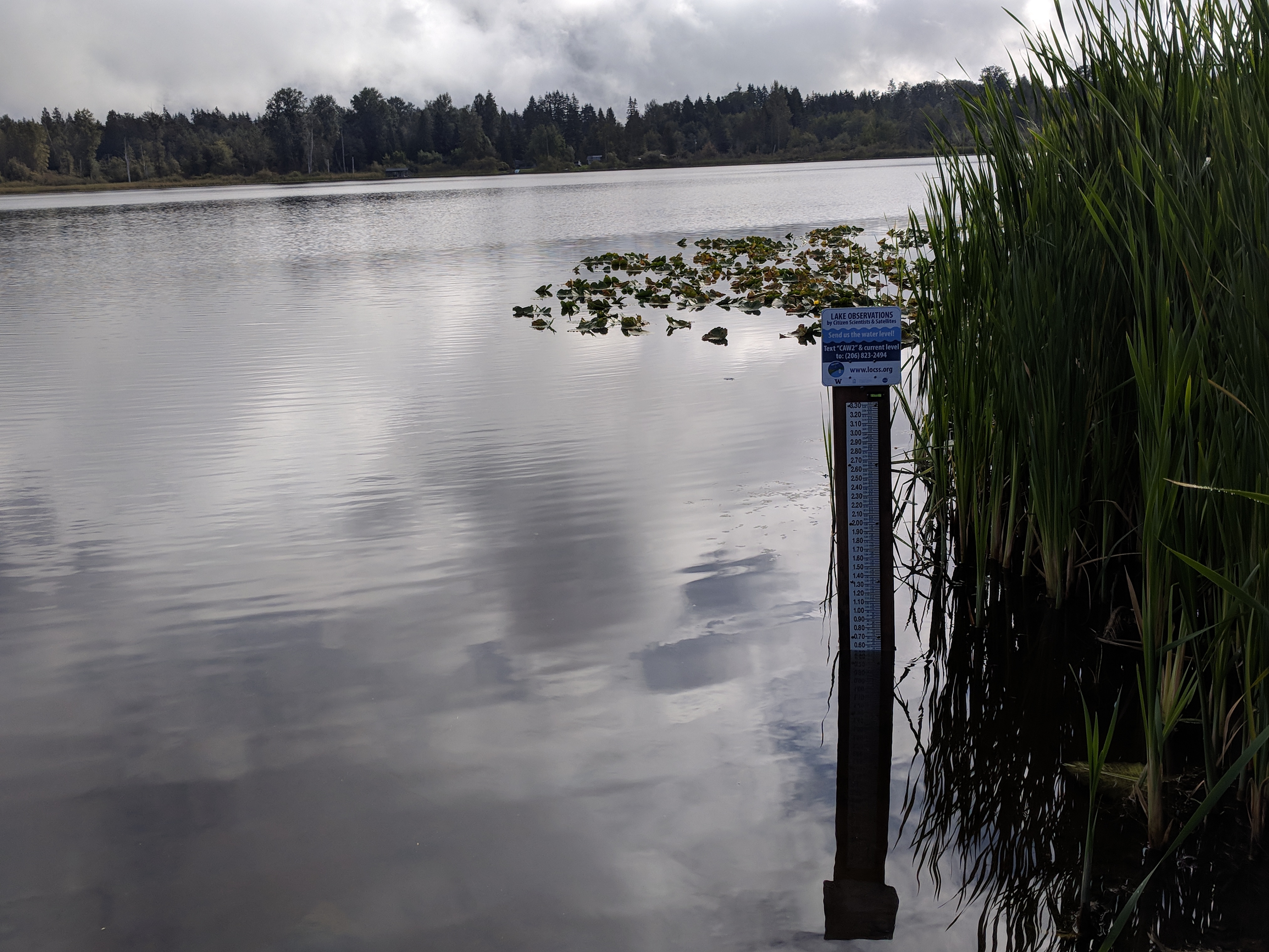
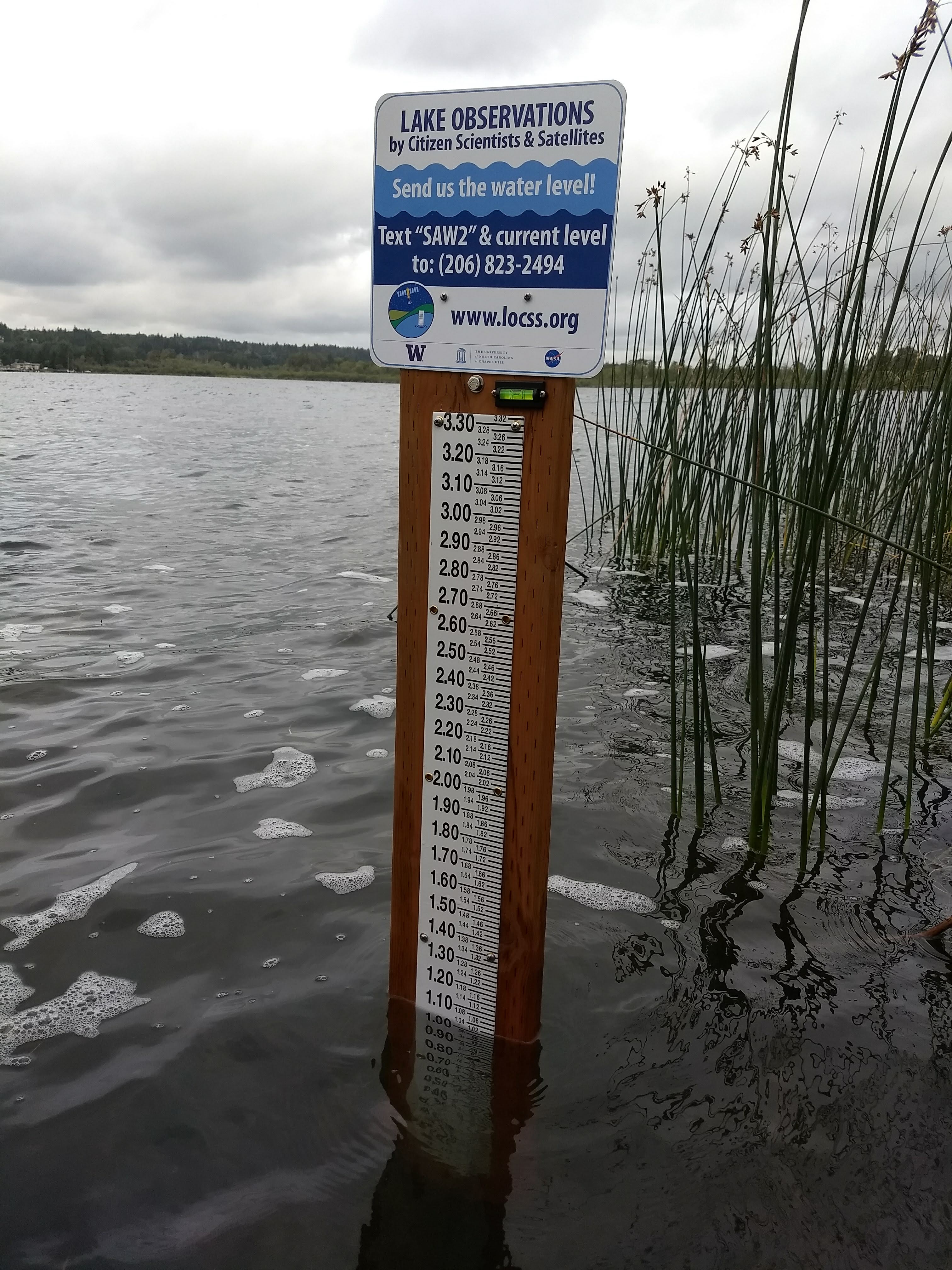
In September 2018, a team of scientists from the University of Washington and the University of North Carolina began studying lakes in western Washington. The project, called Lake Observations by Citizen Scientists & Satellites (LOCSS), seeks to understand how the volume of water in natural lakes is changing over time. To do this, the LOCSS team measures changes in a lake’s surface area using satellite imagery. In addition, a network of local partners and volunteer citizen scientists provides periodic lake height measurements. Volunteer citizen scientists and passers-by read a gauge attached to a dock or fixed pier and report the measurement by texting the lake height to a phone number posted on a nearby sign. The combination of surface area measurements and lake height measurements is then used to determine how the volume of water in the lake is changing.
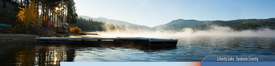
Currently, 12 Washington lakes are being studied, in Chelan, King, Snohomish, and Thurston Counties. These are in addition to 13 lakes in North Carolina, where the project began. Over the next three years, LOCSS plans to expand to study more than 200 lakes across the United States as well as France, India, Pakistan and Bangladesh.
The LOCSS project team is particularly interested in studying lakes in Washington for several reasons. In contrast to other LOCSS focus areas like Wisconsin and the coastal plain of North Carolina, Washington has substantial topography that may influence variations in lake water storage. Furthermore, observing Washington’s lakes can help us understand how periods of dry and wet weather affect the water table; lake water level variations tend to reflect changes in groundwater. Additionally, a network of citizen scientists reporting lake heights in Washington could contribute valuable data to an upcoming NASA satellite mission. The Surface Water and Ocean Topography (SWOT) mission will launch in 2021 to make the first global survey of the Earth’s surface water elevations. During the initial months of this mission, the satellite will pass over parts Washington every day, recording lake surface elevations as it goes. During that time, citizen scientists reporting lake height measurements for the LOCSS project will be providing valuable data that can be used to validate the elevation measurements from SWOT satellites.
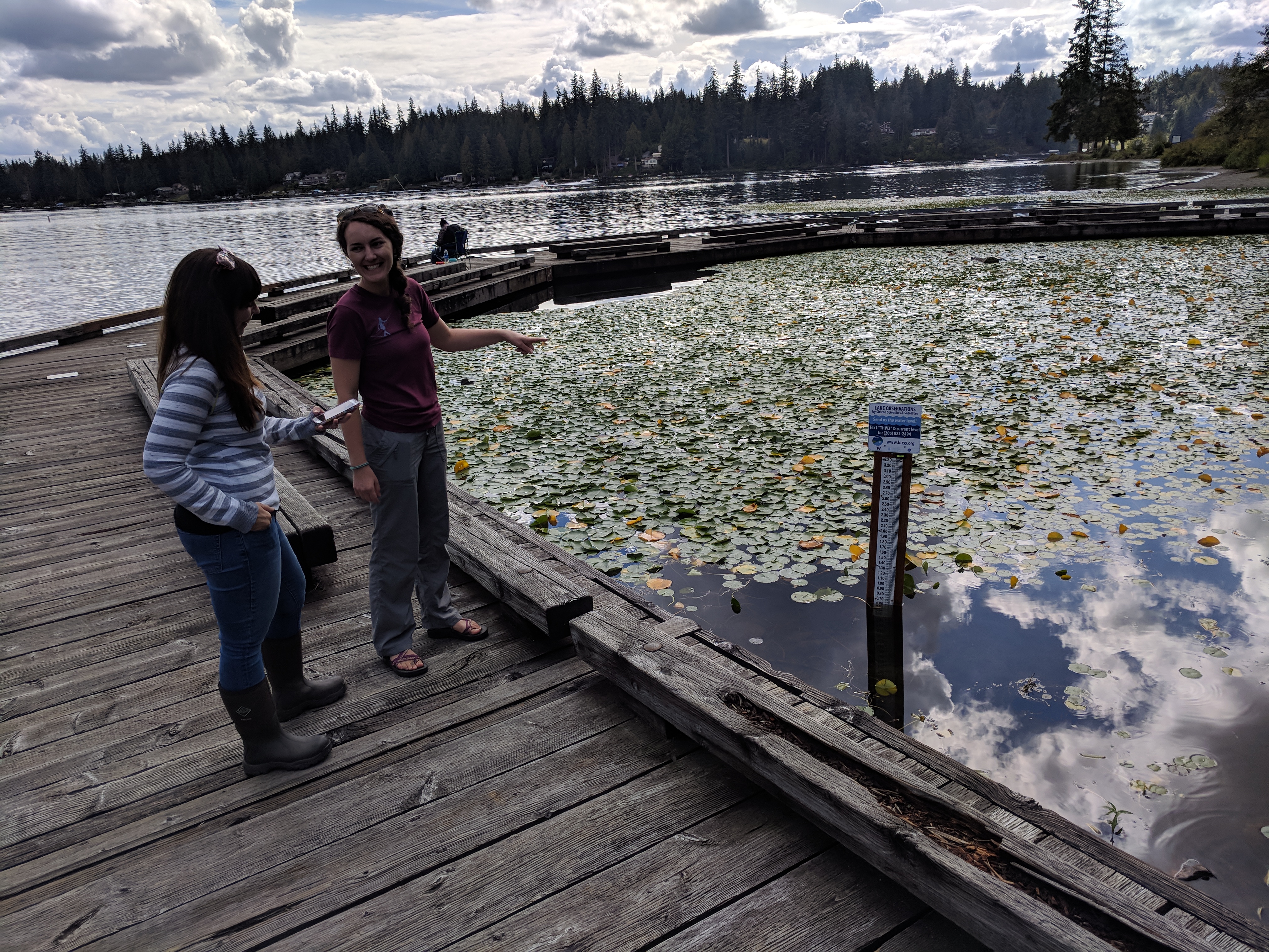
To date, more than 125 citizen scientists have contributed 325 lake height measurements for the 12 Washington lakes. The LOCSS team is interested in studying additional natural lakes in Washington and is seeking local partners to help make that happen. If you would like to get involved, please contact Grant Parkins, LOCSS project co-coordinator, at parkins@unc.edu.
More information about the LOCSS project, including all data that has been recorded for Washington lakes, can be found at www.locss.org.